Ice age glaciation left modern-day Wisconsin with the gift of fresh water. From the Great Lakes Superior and Michigan to the creek in your backyard, our state is dotted with bodies of water.
Curb traveled across the state to document how these waters intersect with the livelihood of everyday Wisconsinites.
We begin in Madison with Lake Monona.
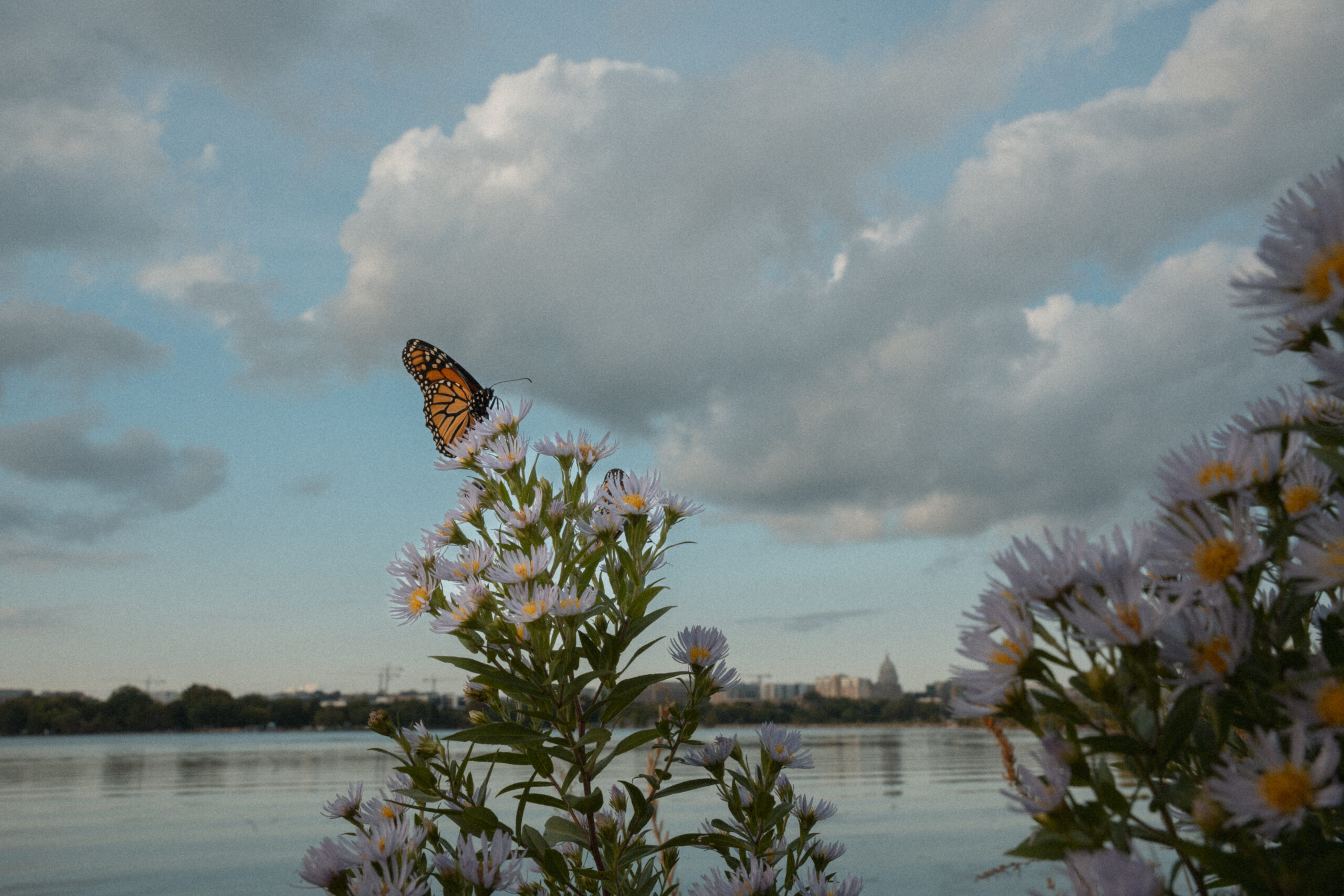
A monarch butterfly gathers nectar on a flower on Bernie Beach. Lake Monona is the second in the Yahara chain of lakes. The land between Lakes Monona and Mendota forms Madison’s iconic isthmus.
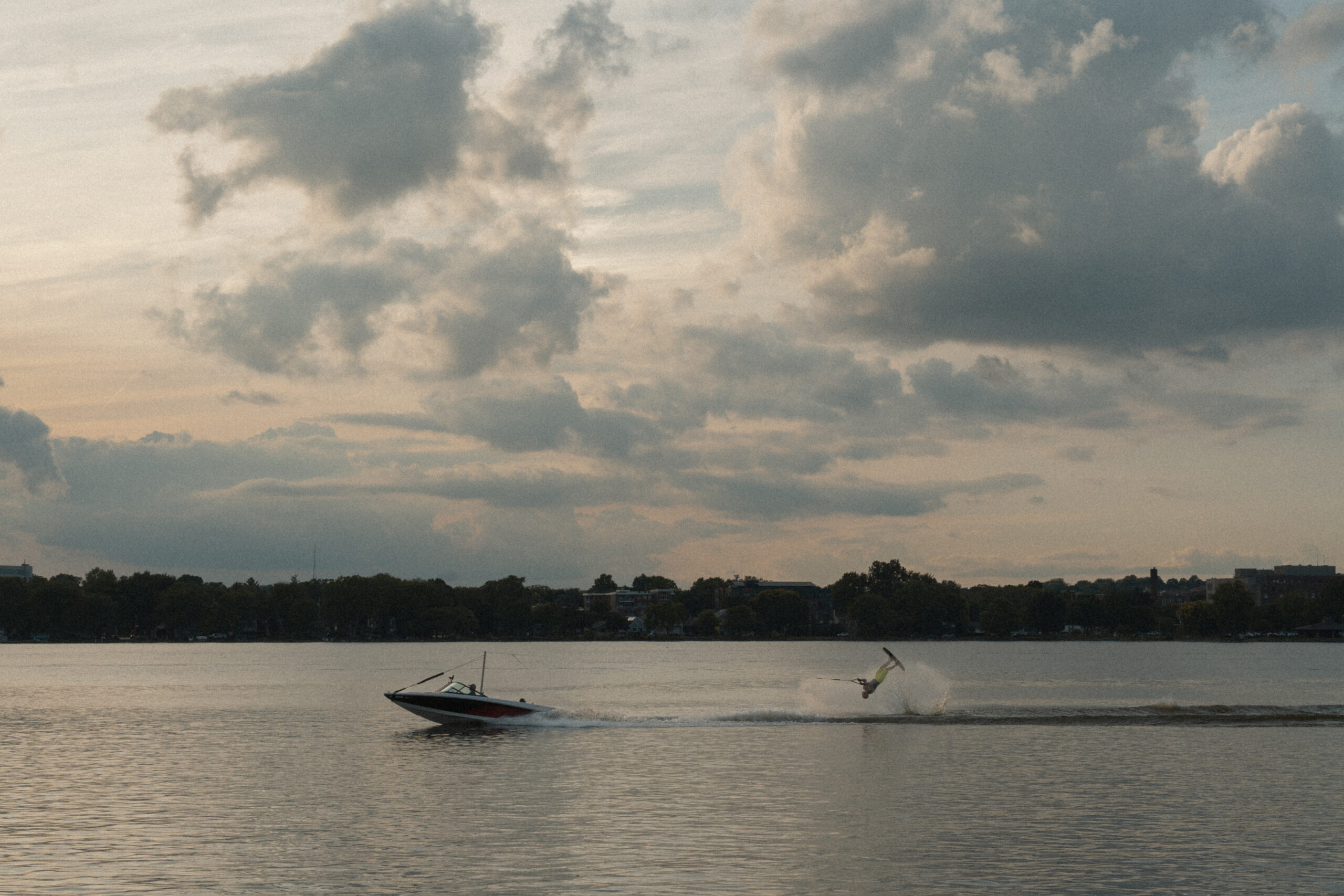
Being the state capital and a college town, Madison’s lakes invite a ton of activity from residents including jet skiing, biergarten and boating.
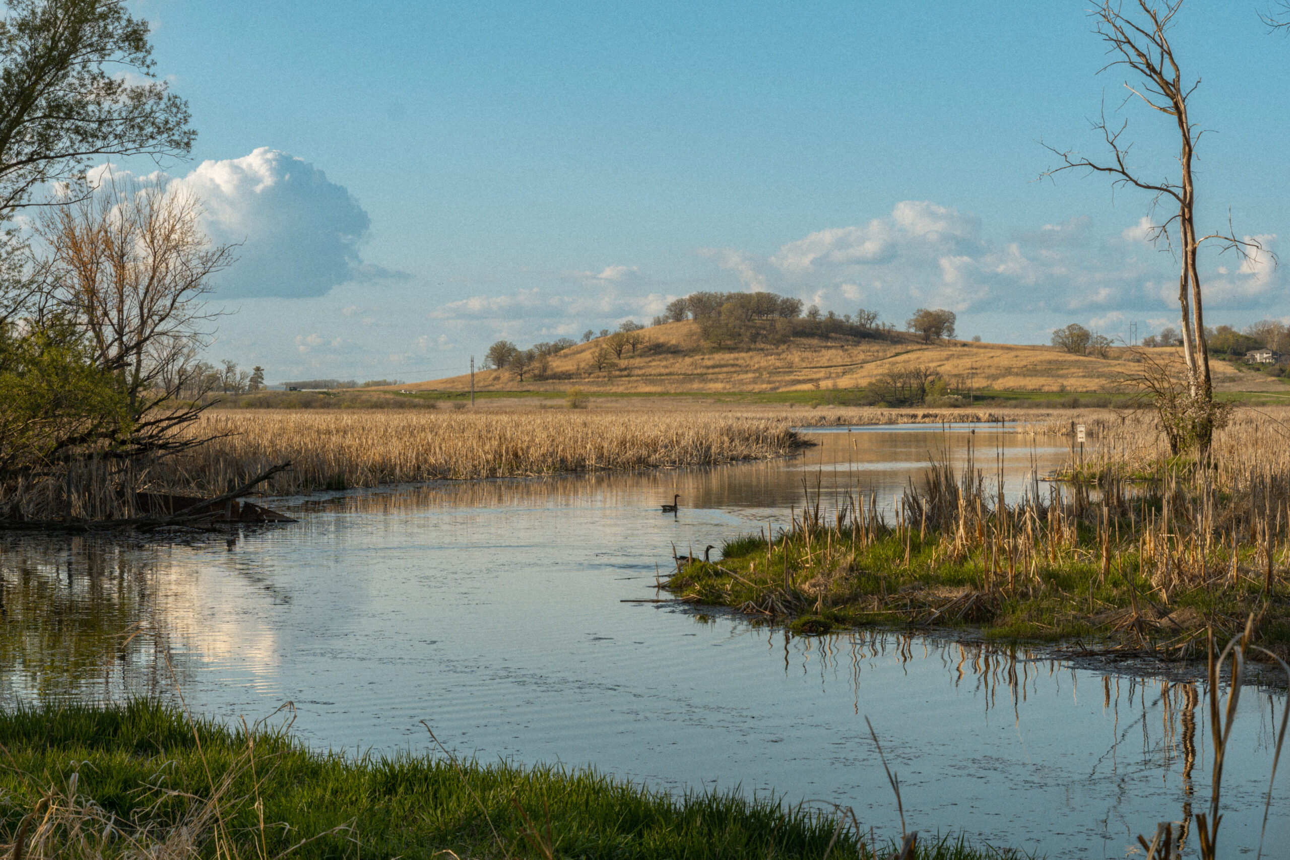
The Pheasant Branch Creek and Frederick’s Hill are found within the Pheasant Branch Conservancy in Middleton. Dane County Parks, Wisconsin Department of Natural Resources and the City of Middleton jointly own the 682 acres of land. Frederick’s Hill contains protected Native American burial grounds.
From Dane County, we travel east to the Lake Michigan shoreline. Sheboygan, known as the “Malibu of the Midwest,” is a vibrant coastal community. Often included in the unofficial “America’s funny name towns” list, Sheboygan’s national footprint tends to stop there, but its weather and beachside location make it uniquely suited to host a thriving surfing scene.
Visitors enjoy the beach at Kohler-Andrae state park in Sheboygan. Following the death of her husband, Frank Theodore Andrae, in 1927, Elsbeth Andrae donated their 122 acres of lakeshore property to the state of Wisconsin to be known as Terry Andrae State Park.
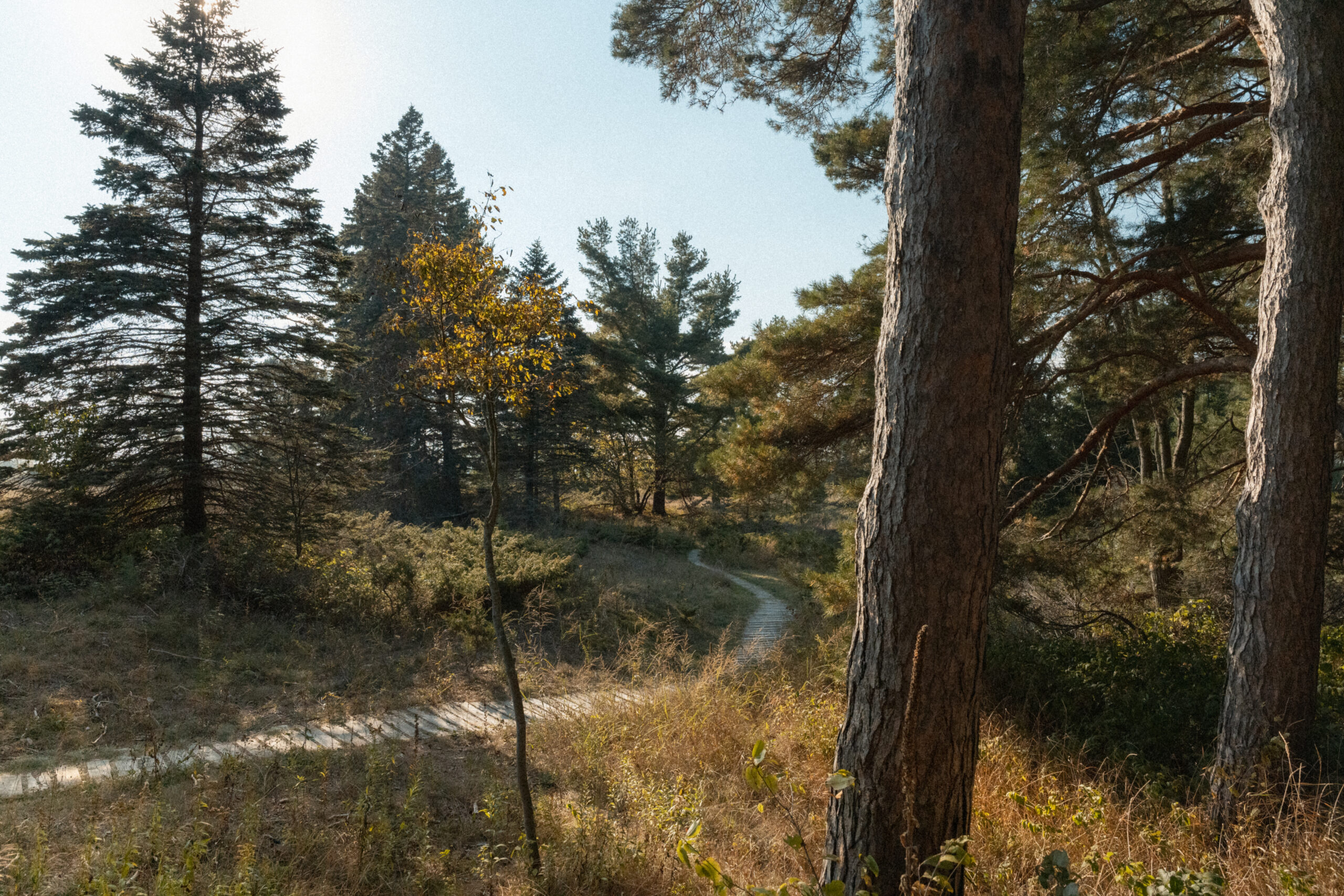
The Kohler-Andrae state park features various trails through dunes and pine-laden woods a short distance away from the beach. In 1966, the Kohler Company donated 280 acres of land to the state in memory of its founder, John M. Kohler, who moved to Sheboygan in 1871. That parcel of land became the John Michael Kohler State Park. Following both donations, the state of Wisconsin purchased an additional 600 acres of property, bringing the total acreage to around 1000. Though both parks are two separate properties, they are managed as one unit.
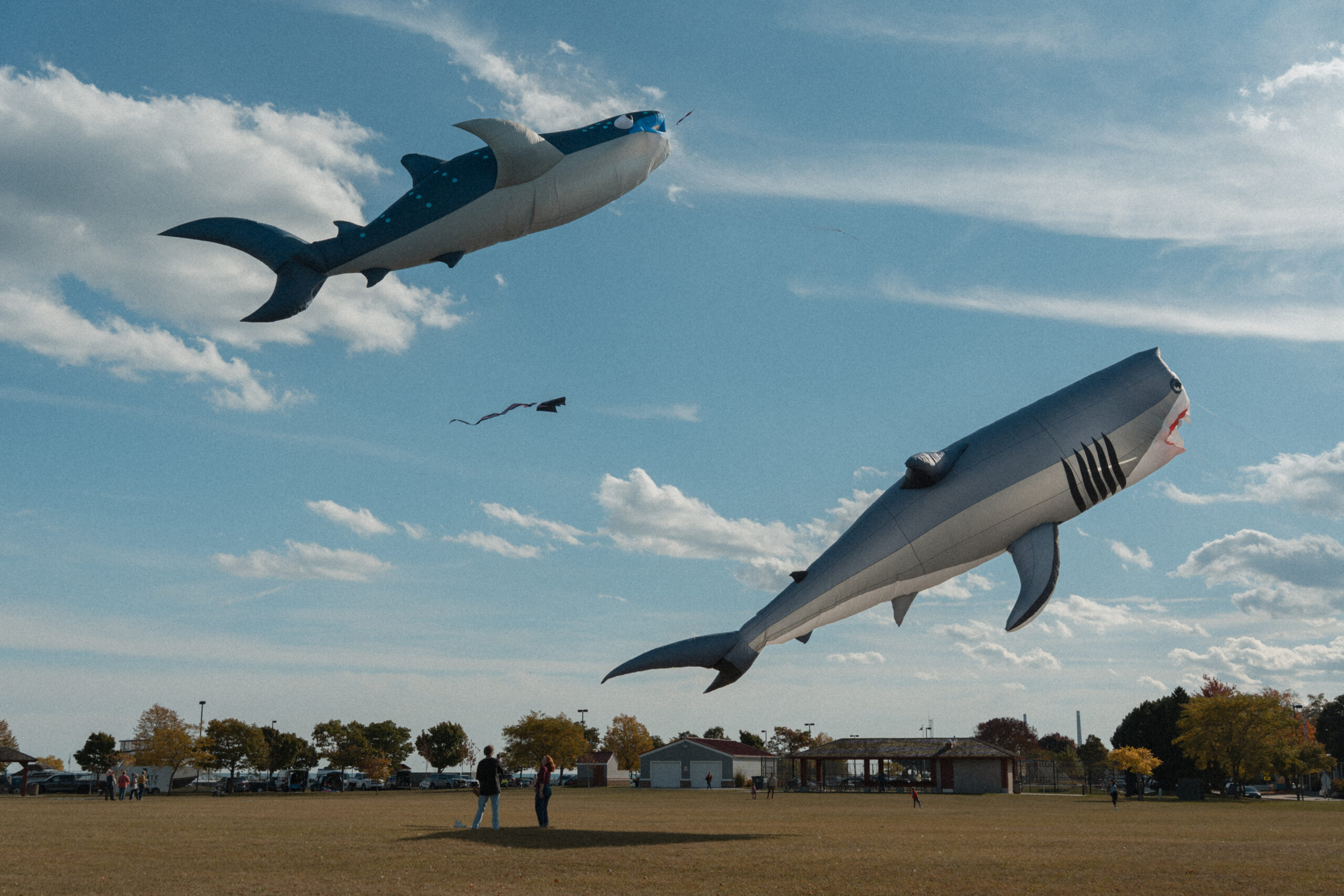
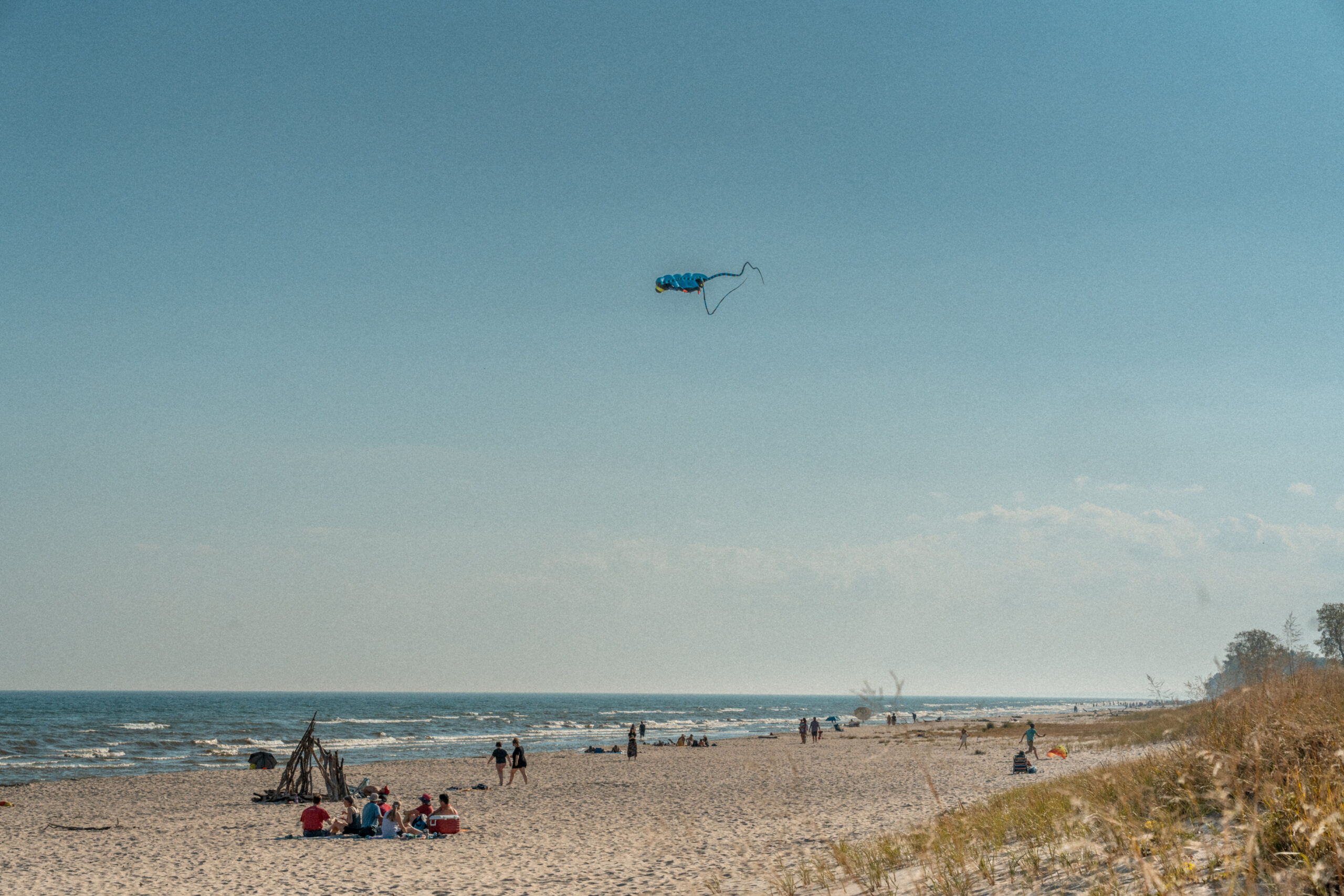
Visitors fly kites near the Harbor Center Marina.

A man participates in the Oct. 18 “No Kings” protests on the North Side Municipal Beach in Sheboygan.
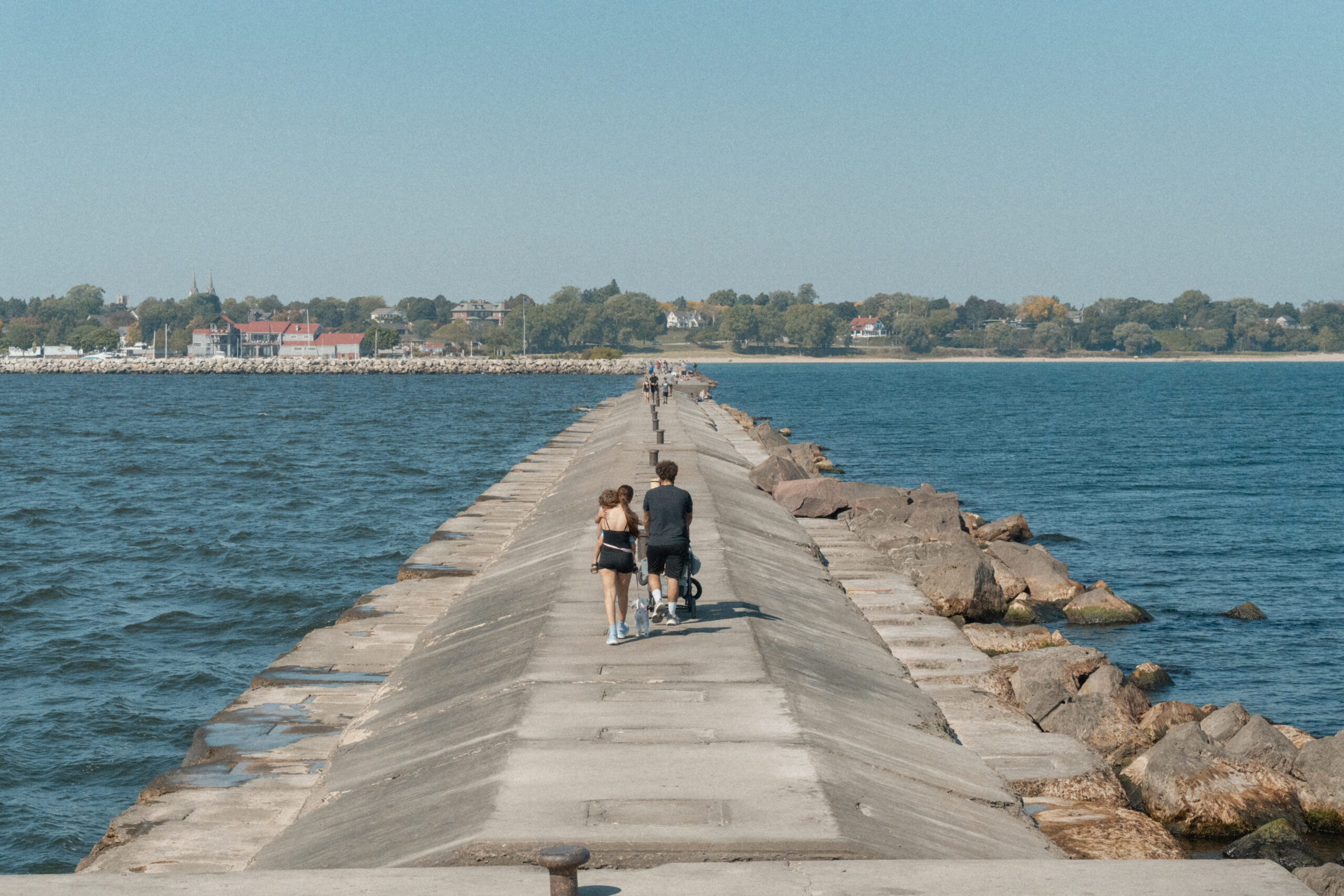
A family walks down the lighthouse breakwater back to the shore.
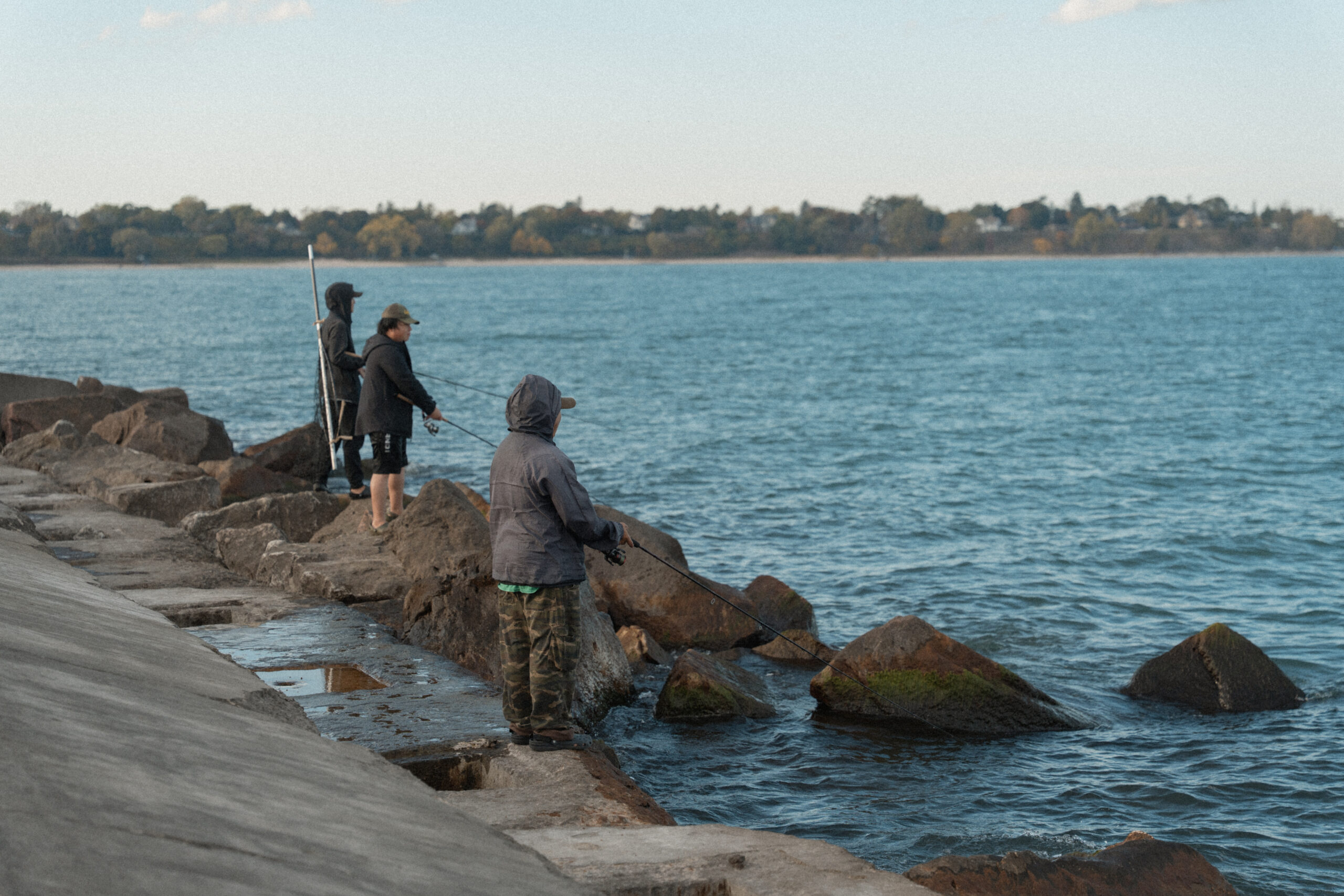
People often fish along the sides of the lighthouse breakwater.
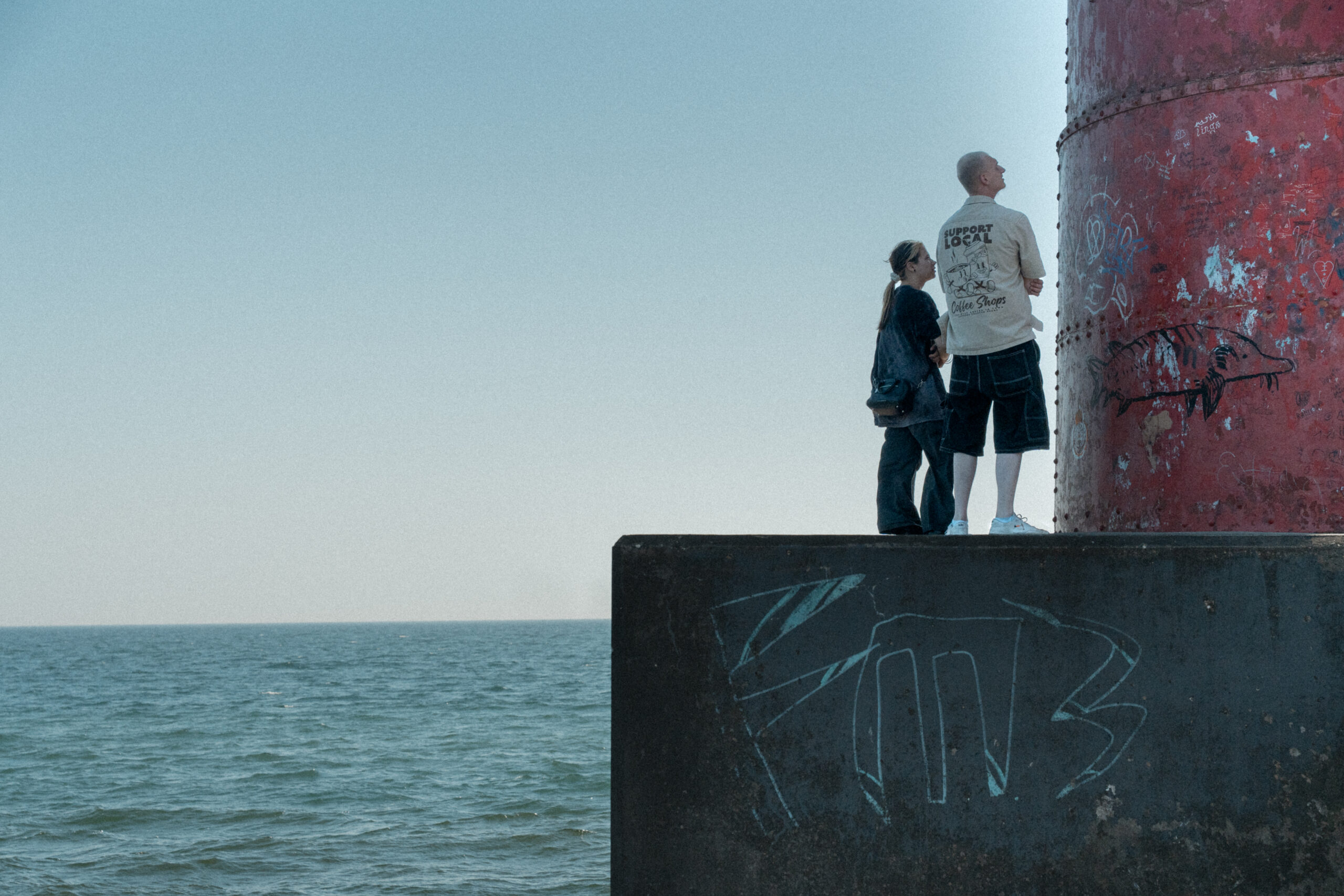
Visitors observe graffiti painted on the Sheboygan lighthouse. The lighthouse was first lit in 1839 and underwent various upgrades until 1915, when it was relocated and installed in its current location on the concrete north breakwater. Much of the old metalwork remains intact today.

A visitor takes a photo of Lake Michigan from the base of the Sheboygan lighthouse. In July 2025, the federal government made ownership of the lighthouse available for transfer at no cost to a public body, with the stipulation that it be used for educational, park, recreational, cultural or historical preservation purposes. If no public body expresses interest in the property, it will be sold at an auction.
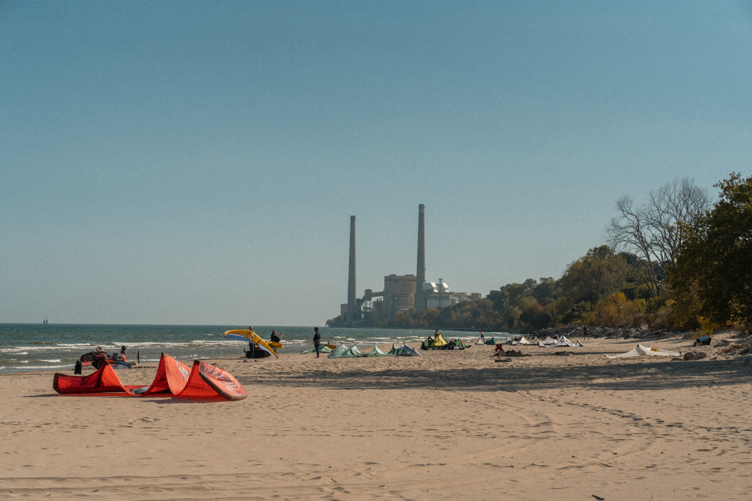
Known as the “Malibu of the Midwest,” Sheboygan boasts the perfect conditions for wind-powered activities, including flying kites and surfing.
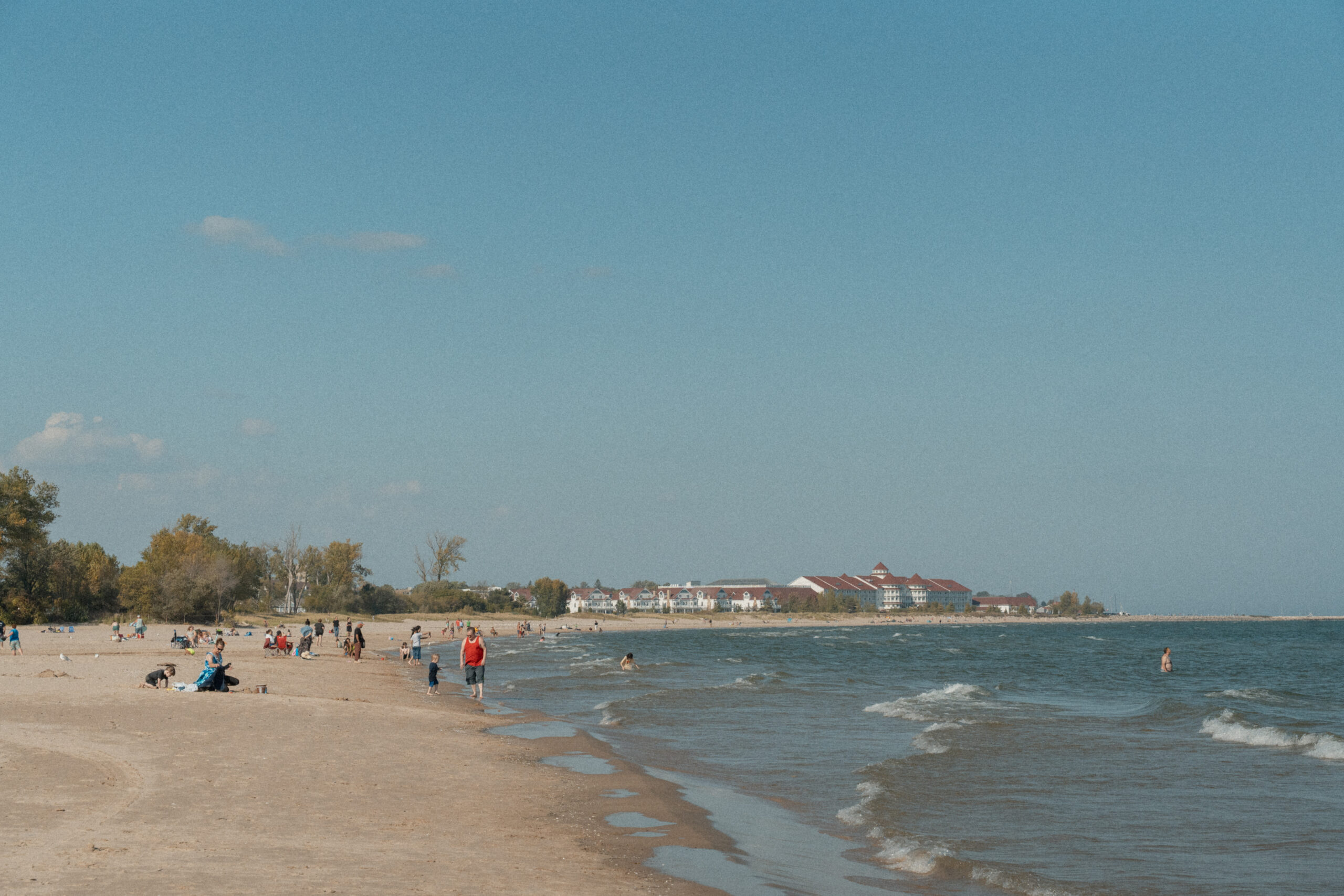
Visitors enjoy the beach at King Park.
From Sheboygan we head north to the Lake Superior shoreline on the border between Wisconsin and Michigan border. Lake Superior flows into the Montreal River and for most of its 47-mile length, the river acts as a natural border between Wisconsin and Michigan’s Upper Peninsula.
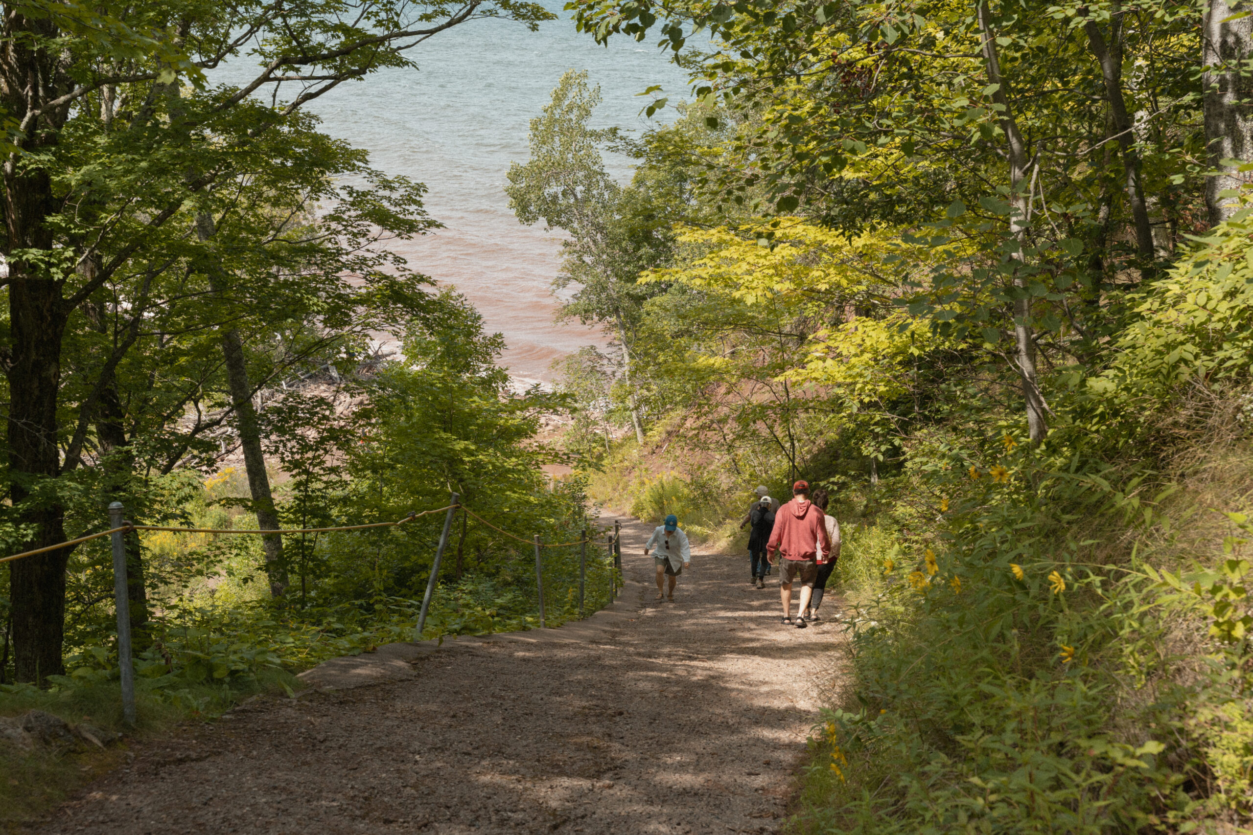
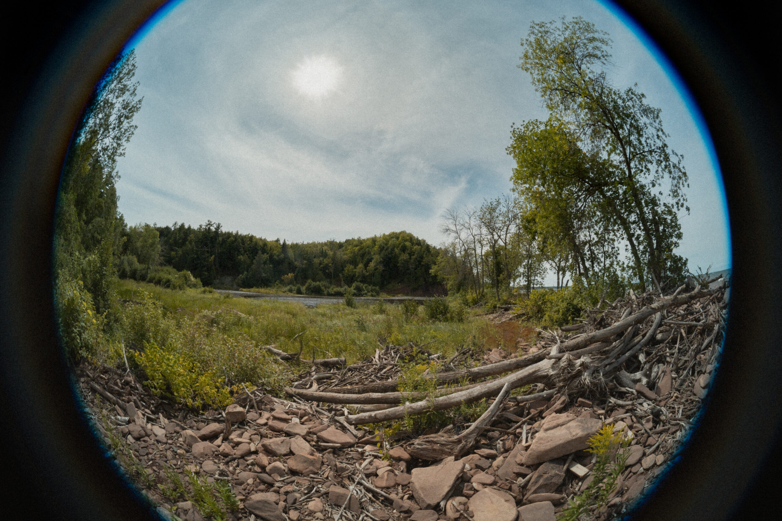
Superior Falls visitors walk down a steep path to the Lake Superior shore.
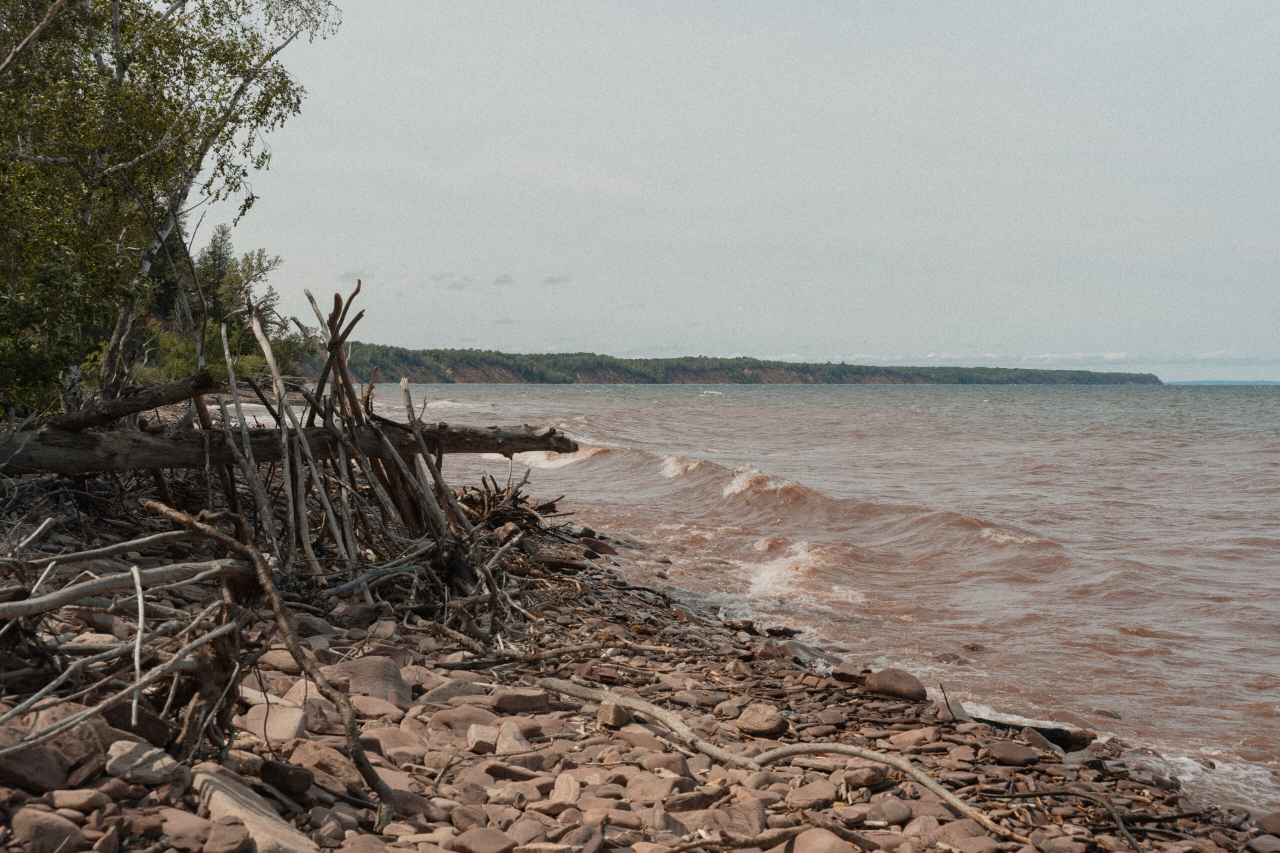
The Lake Superior shoreline as seen from the mouth of the Montreal River.
The Montreal River delineates the western part of the border between Wisconsin and Michigan’s Upper Peninsula.

A bumblebee gathers nectar from a flower alongside the Montreal River.

Visitors standing on the “Western Most Point in Michigan,” which juts out across the mouth of the river. It’s only light swim away from Wisconsin.
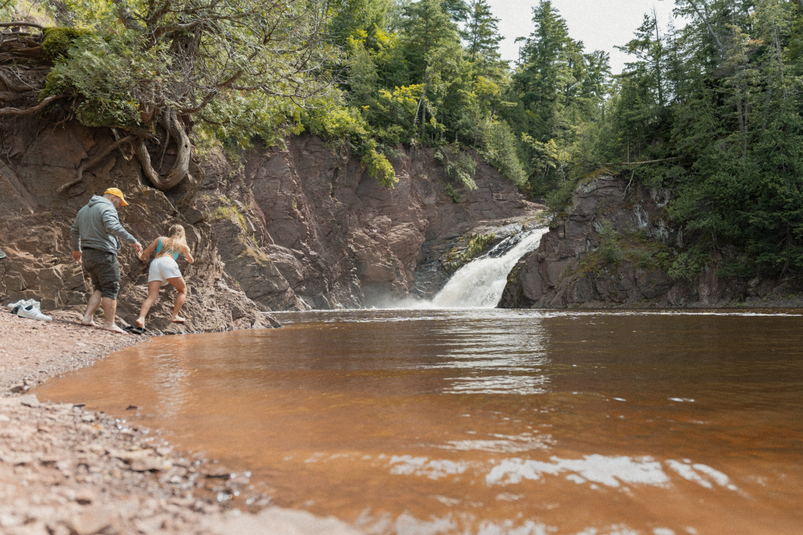
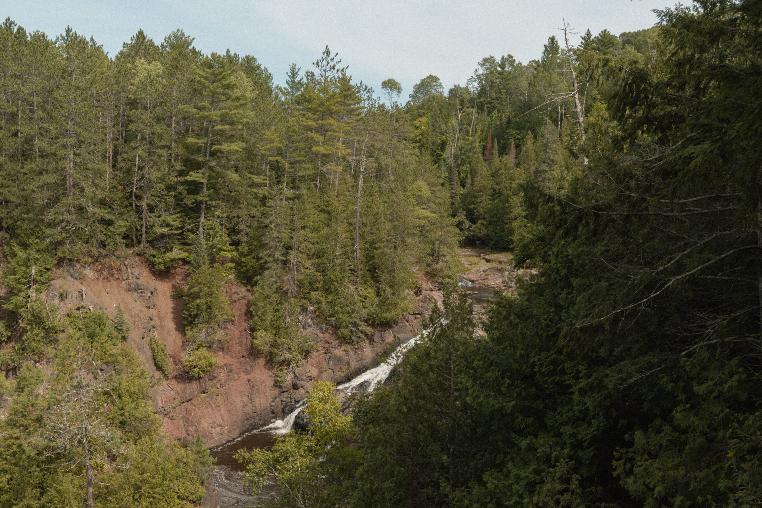
Hikers attempt to get a better view of Superior Falls. The hikers are on the Michigan side of the border, while the waterfall rests on the Wisconsin side. Superior Falls has a drop distance of 110 feet over several tiers and spills into the Montreal River.
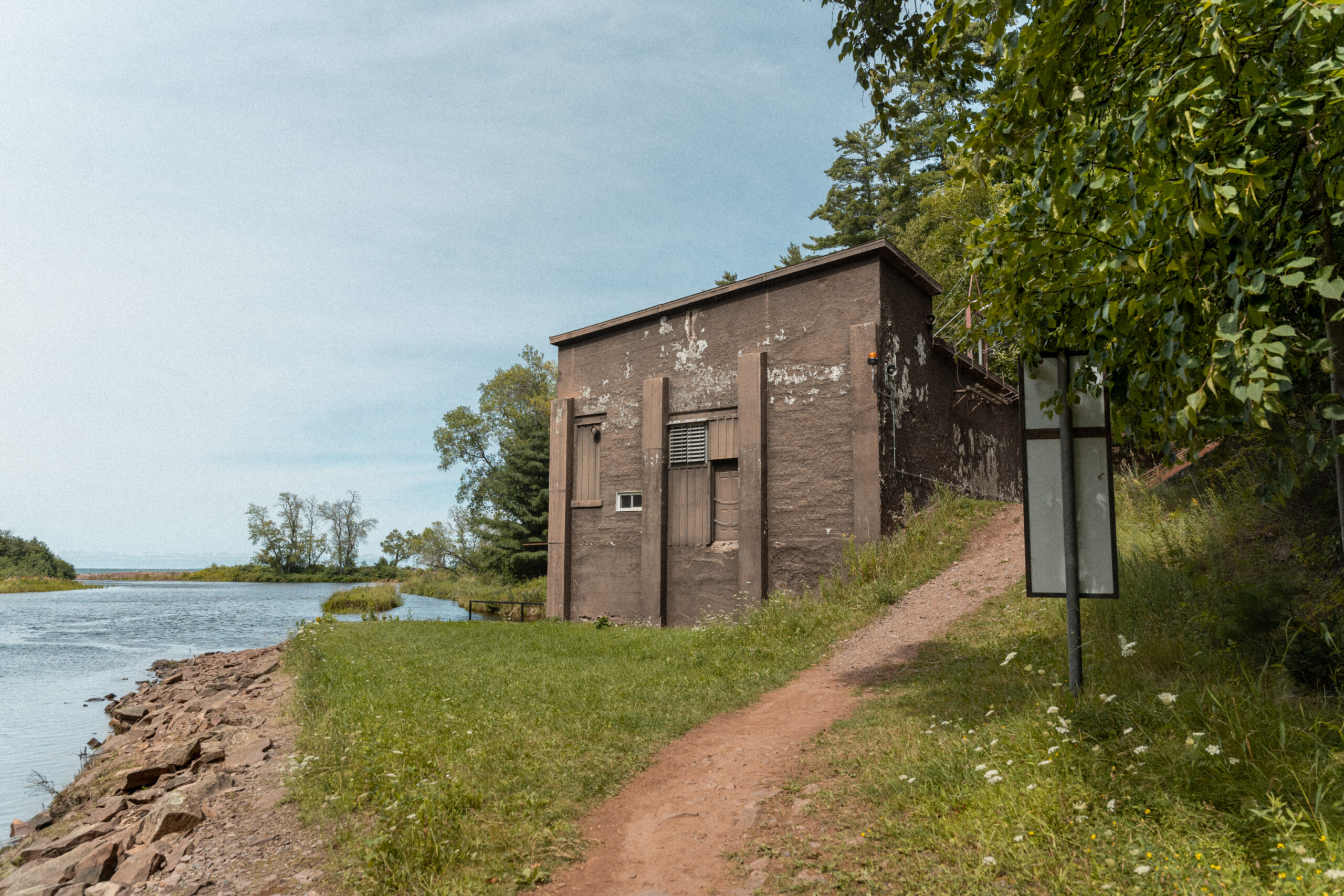
The Xcel Energy-owned Superior Falls Hydro Generating Station sits at the mouth of the Montreal River. It is an unmanned plant. Operating since 1917, it powers approximately 1,100 homes annually.
The Montreal River flows south into land, further delineating the Wisconsin-Michigan border. The river flows south into Wisconsin, running through Gile Flowage and dumping into Island Lake and Pine Lake in Iron County.